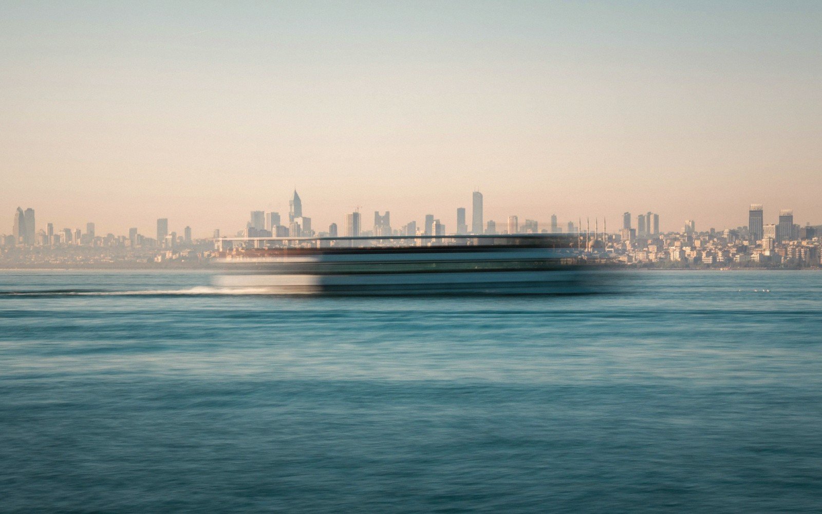
One ticket, two worlds
No guided tour, no reservation, no itinerary — just a token at the turnstile and a seat on the upper deck. The Istanbul ferry network, run by the municipal operator Şehir Hatları and by İDO (İstanbul Deniz Otobüsleri), connects the European and Asian shores on routes that have carried passengers in one form or another for well over a century. The workhorse crossing — Eminönü or Karaköy across to Kadıköy or Üsküdar — takes roughly twenty minutes and costs the same as a metro ride.
That is the practical case. The better one is what happens during those twenty minutes.
Leaving the European shore, you get the full skyline in a single sweep: the cascade of domes and minarets above Sultanahmet, the Topkapı promontory jutting into the water, and — if the light cooperates — the shimmer of Hagia Sophia's lead dome above the treeline. Closer to midstream, tankers from the Black Sea slip past on their way to the Marmara, dwarfing everything else on the water. Seagulls work the wake. Someone brings tea.
The Asian shore arrives gently: Üsküdar's waterfront mosque, the Maiden's Tower standing on its small island just offshore, the Bosphorus opening northward into something that feels genuinely oceanic. Turn in your seat and Istanbul is already behind you, receding at the pace of an exhalation.
Commuters do this twice a day without looking up from their phones. That is, in its way, the point — the ferry is infrastructure, not spectacle, which is precisely what makes it work. Visitors who ride the longer Boğaz hattı, the full Bosphorus line that runs up toward the Black Sea entrance and back, get an extended version: wooden yalı mansions along the water's edge, fortress walls at Rumelihisarı, the bridge spans high overhead. But even the short crossing earns its twenty minutes.
That is, in its way, the point — the ferry is infrastructure, not spectacle, which is precisely what makes it work.